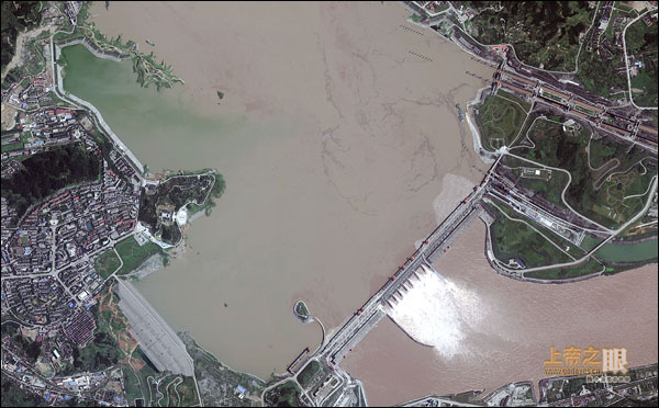
习时代即时新闻大陆新闻焦点新闻 为隐瞒真相,中共把百度地图、高德地图有关三峡大坝周围的卫星图完全屏蔽掉了! By 新高地 - 2019年7月7日 0 5532 Share FacebookTwitterPinterestWhatsApp Three Gorges Dam, Yichang, China-July 26, 2010: This is a satellite image showing the Yangtze River after heavy rains have caused the river to reach high levels. The Three Gorges Dam is holding despite the high water levels. (credit: DigitalGlobe) 刚刚!百度地图、高德地图把三峡大坝周围的卫星图完全屏蔽掉了! pic.twitter.com/c8fNH5vIna — 药丸时报 (@pilltimes) July 7, 2019